Perfect View
This project mapped and documented 'sublime sites' located around the U.S.
Previous
Index
Next
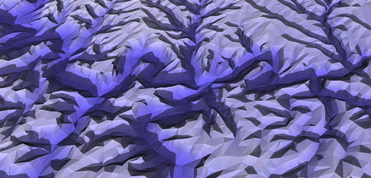
3D model of Kentucky site created from USGS lattitude/longitude/elevation data.
Contact: Jack Toolin